Mogok region is located 130 km north of Mandalay, on the western edge of the Shan upland.
The geological structure is defined by its position in the marginal part of the Shan central massif, which is the largest outcrop of Precambrian metamorphic rocks in the Mesozoic Indochina foldbelt. A large part of the region is underlain by garnet-sillimanite gneisses and crystalline schists with intercalations of sillimanite quartzites. The Mogok group of gneisses locally contains thick sequence of calcite and dolomite-calcite marbles and calciphyres with associated calcareous diopside gneisses.
The Mogok Stone Tract contains a diverse suite of gem minerals, which are related to skarns, calciphyres, pegmatites, and greisens of metamorphic and magmatic origin. In addition to
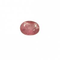
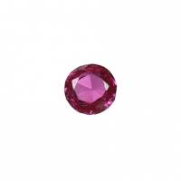
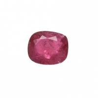
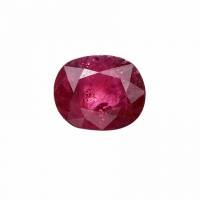
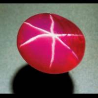
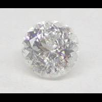
ruby,
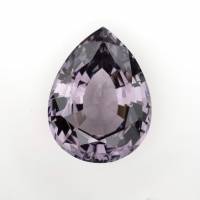
spinel and
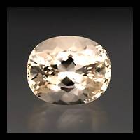
peridot of the highest quality are present. Less important are
garnet,
topaz,
tormaline,
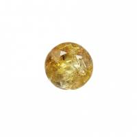
quartz,
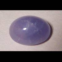
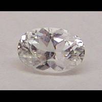
sapphire, and rare
scapolite,
diopside,
kornerupine,
apatite,
kyanite and others.
Ruby forms disseminations and clusters in skarned marbles along the contact with granites or syenites and in fracture zones in marbles. Bluish traslucent
sapphire crystals occur in kaolinized feldspathic rocks (anorthosites, syenite pegmatites)(Iyer, 1953).
Ref: E.Ya. Kievlenko, Geology of gems, 2003, p. 57
Gemstone List
Gem list contains entries from all listed localities in region.
Gemstones from Mogok Township, Pyin-Oo-Lwin District, Mandalay Region, Myanmar by Colour
Click on a photo for more information.
Localities in this Region
|
|